Latest news: Updated documents were submitted to Canterbury City Council and were decided upon on the 17th November 2020.
You will find links to the rejected documents and plans below. We urge you to read them and let the council know what you think, pending an appeal by the developers
CCC considered two sets of proposals, one is the lower site that includes the Link Road, and is closer to Sturry village and the railway line:
Sturry:
Sturry crosing is to the right of this map. The lower boundary is the railway line. The right hand boundary is Sturry Hill
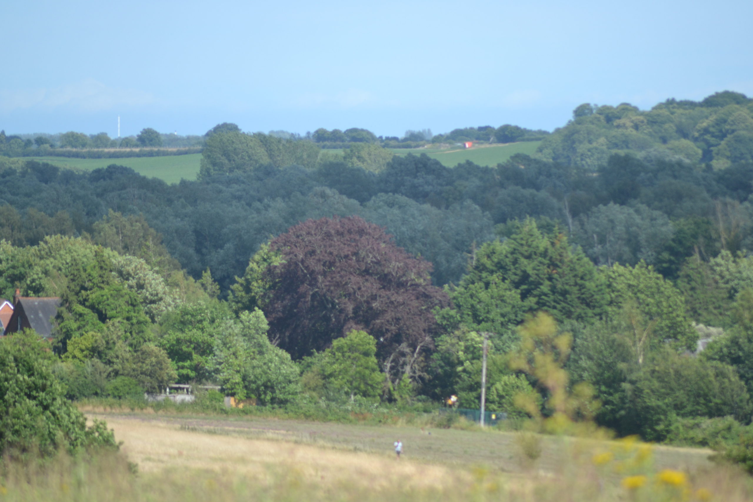
The second is the area at Broad Oak, covering the land behind Shalloak Road and the farm shop.
The Broad Oak development. On the right is the current junction with the A291 and Shalloak Road. Bottom right you can see the boundary of the farm shop.
The Link Road itself is subject to a separate planning application at Kent County Council. It will involve the construction of a flyover and changes to road layouts, including new roundabouts.
The link road is subject to funding by local developers and SELEPThis shows the position of the new roundabout on Sturry Road that leads up to the flyover. For orientation purposes, the road into Canterbury is top left and the ‘McDonalds’ drive in is just off to the top left.There will be another new roundabout just off Sturry Hill, to allow access to the Link Road. Herne Bay is in the top left direction, and to the right is Sturry Crossing and the road to Margate.The planners think that a new layout will be needed at Sturry Crossing to ensure that traffic from Margate/Hersden area will be forced up Sturry Hill to join the new road. The priorities at a lights controlled crossing will be as below…There will be no left turn for West bound traffic. The junction will be controlled by lights. Will there still be delays? The planners think not.


Leave a Reply